
Our Services
What we Offer
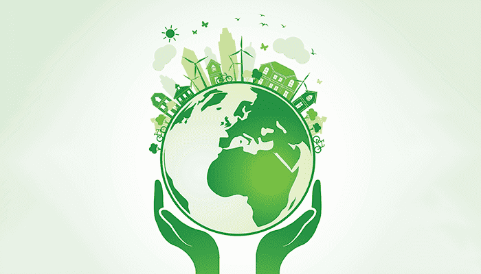
Offering tailored geospatial solutions, we specialize in spatial analysis, remote sensing, and advanced modeling. Our expertise includes custom GIS solutions, machine learning applications, and a focus on water resources and climate impact, addressing complex challenges in Earth science and environmental management.

Conducting comprehensive spatial data analysis using advanced GIS techniques to extract meaningful patterns and trends, enabling informed decision-making for clients in areas such as urban planning, environmental conservation, and infrastructure development.

Expertly interpreting satellite imagery, extracting valuable information for clients in agriculture, forestry, land management, and disaster response. Delivering precise land cover classification and change detection analyses.

Applying machine learning techniques to develop predictive models and classifications relevant to Earth science and environmental challenges. Offering expertise in model training, validation, and interpretation of results.

Designing and deploying tailored GIS solutions, including database architecture, map production workflows, and spatial analysis tools. Offering consultancy to optimize existing GIS infrastructure for improved efficiency.
Conducting thorough EIA for various projects, utilizing spatial analysis and modeling techniques. Providing recommendations for minimizing environmental impact and ensuring sustainable practices.
Developing and delivering training programs and workshops tailored to the specific needs of professionals and organizations. Covering topics ranging from basic geospatial skills to advanced remote sensing applications.